Food, Flowers, and Fun! - MAY 4 & 5, 2024


Home
<p>Home</p>

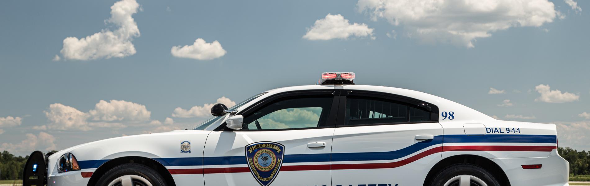
It is the goal of the Orangeburg Department of Public Safety to constantly evolve our partnerships with community stakeholders to improve our delivery of police and fire services.
| S | M | T | W | T | F | S |
|---|---|---|---|---|---|---|
|
31
|
1
|
2
|
3
|
4
|
5
|
6
|
|
|
|
|
|
|
|
|
|
7
|
8
|
9
|
10
|
11
|
12
|
13
|
|
|
|
|
|
|
|
|
|
14
|
15
|
16
|
17
|
18
|
19
|
20
|
|
|
|
|
|
|
||
|
21
|
22
|
23
|
24
|
25
|
26
|
27
|
|
|
|
|
|
|
|
|
|
28
|
29
|
30
|
1
|
2
|
3
|
4
|
|
|
|
|
|
|
|
|
<p>Home</p>